Construction
Drone services for construction & civil engineering
Accurate, frequent site data keeps projects on schedule and budgets honest.
[ 01 ]
How we help
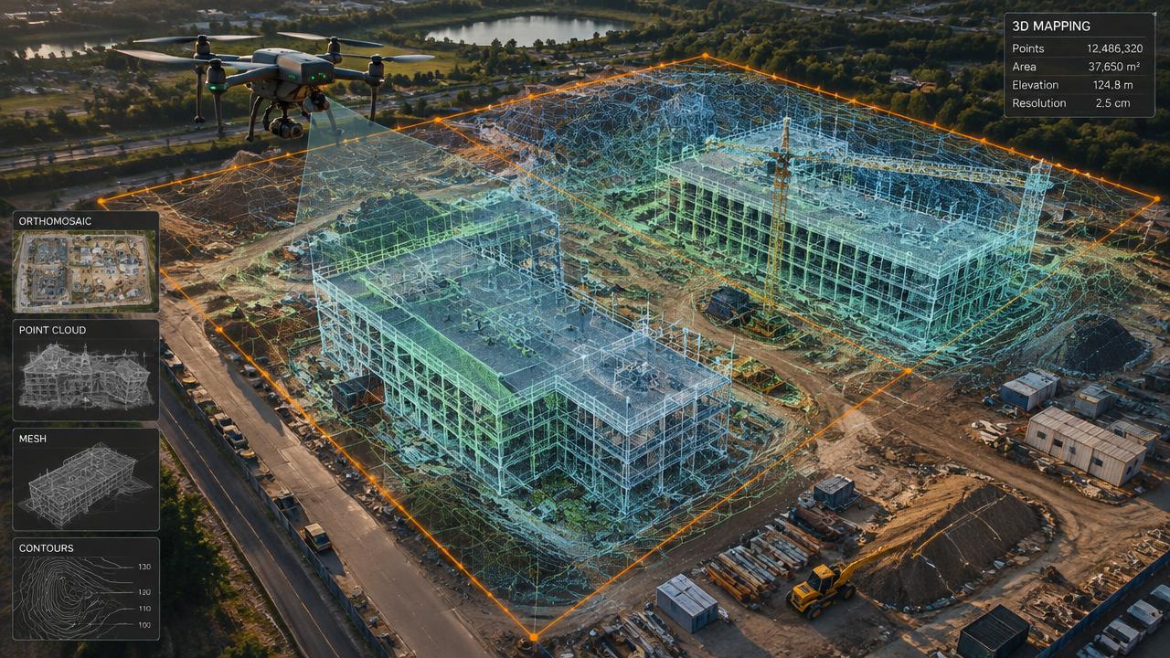
- LiDAR topographic surveys
- Cut/fill and stockpile volumetrics
- Weekly orthomosaic progress reporting
- Safety compliance checks
[ 02 ]
Practical guidance
Measure stockpiles in minutes
Drone volumetrics replace slow manual walking surveys.
One visual record for everyone
Owners, engineers and trades see the same up-to-date map.
[ 03 ]
Relevant services
Surveying & LiDAR
UAV LiDAR that penetrates vegetation canopy for precision topographic mapping and volumetric stockpile measurements.
3D Mapping & Digital Twins
High-precision photogrammetry transforming structures and terrain into centimetre-accurate 3D models and orthomosaic maps.
High-Resolution Aerial Inspections
Drone inspection imagery for residential and commercial buildings, roofing, towers, industrial assets, utilities and infrastructure across Winnipeg, Manitoba, Saskatchewan and the Kenora region. Visual records support maintenance decisions and professional follow-up; scope depends on access, equipment and flight permissions.
[ 04 ]
Construction drone services near you
Winnipeg
Manitoba
Saskatchewan
Frequently asked questions
+How often should a site be flown?
Most active construction sites benefit from weekly or bi-weekly flights for progress reporting.
[ Knowledge base ]
Key terms on this page
- Construction Progress Monitoring
- Repeated drone flights over a job site to document progress, compare against plans and share updates with stakeholders.

Ready to see your property from above?
Licensed, insured Transport Canada Advanced RPAS pilots. Fast written quotes.