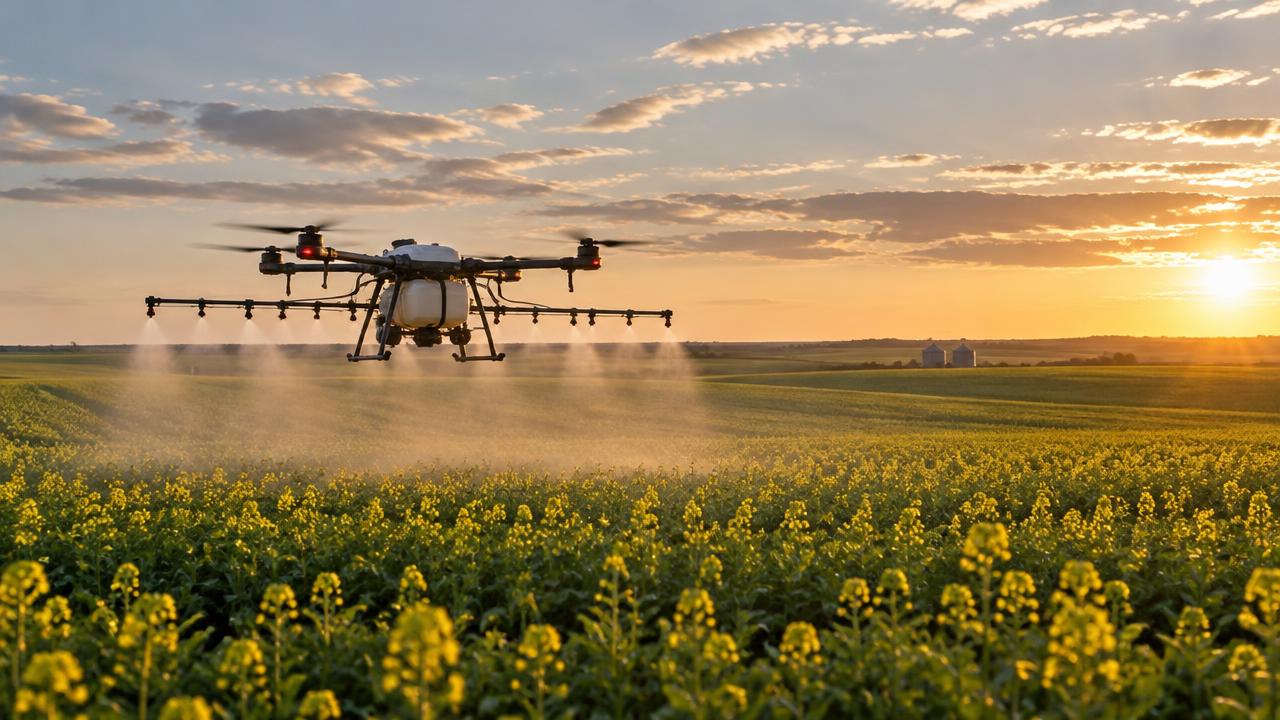
Ag Drone Spraying
Crop Scouting & NDVI Drone Mapping
Multispectral crop-health maps, stand counts and variable-rate prescriptions for prairie farms.
[ 01 ]
What is crop scouting & ndvi mapping?
Drone crop scouting uses a multispectral camera to map crop health (NDVI/NDRE) across the whole field, revealing stress zones, poor emergence and weed patches days before they are visible from the ground. The maps can be turned into variable-rate prescription files for targeted spraying and fertilizing — so you treat only the acres that need it.
Benefits
- Whole-field health map in hours
- Find stress before it's visible
- Variable-rate prescription files
- Pairs directly with our spraying and fertilizing
How it works
- [ 01 ]Flight at the right crop stage
- [ 02 ]Calibrated multispectral capture
- [ 03 ]Health maps and stress zones
- [ 04 ]Optional prescription file for application
[ 02 ]
Who uses crop scouting & ndvi mapping — and what it saves
- Grain and oilseed farmers
- Agronomists
- Seed companies
- Crop insurers
| Factor | Traditional method | With a drone |
|---|---|---|
| Scouting method | Walking a few spots per field | Every acre mapped in one flight |
| Finding stress | Visible only once symptoms show | Stress zones visible days earlier in NDVI |
| Market rates in Canada | Agronomist per-visit fees | Saskatchewan providers publish about $2–$3 per acre for mapping, $4–$5 with a variable-rate prescription |
Rates shown are published examples from Canadian providers, not ClearHorizon quotes. Ground-truthing by an agronomist remains essential.
[ 02 ]
Crop Scouting & NDVI Mapping near you
Winnipeg
Manitoba
Saskatchewan
Kenora & NW Ontario
[ 03 ]
More ag drone spraying services
Drone Crop Spraying
Fungicide, insecticide and herbicide application by drone across Manitoba and Saskatchewan.
Drone Fertilizer Application
Liquid and granular fertilizer top-dress without driving on the crop.
Drone Seeding & Cover Crops
Broadcast cover crops, forage and pasture seed — even into standing crops and slopes.
Mosquito Larvicide Application
Targeted larvicide over ponds, ditches and flooded areas for municipalities and resorts.
Livestock Monitoring & Thermal Search
Herd location, counts and lost-animal searches across large pastures using visual and thermal drones.
Heavy-Lift Drone Cargo Delivery (up to 100 lb)
Truck-box-sized drones that lift up to 100 lb of parts, tools or supplies to remote hydro, mining and northern sites.
Aerial Reforestation & Seed Dropping
Heavy-lift seed dispersal for post-wildfire reforestation and remote reclamation sites.
Frequently asked questions
+What does drone crop mapping cost?
Saskatchewan providers publish roughly $2–$3 per acre for basic mapping and $4–$5 per acre including a variable-rate prescription. We quote per field and acreage.
+Is drone scouting better than satellite imagery?
Drone maps are far higher resolution and captured on your schedule; satellites are cheaper for routine broad-acre screening. Many producers use both.
[ Knowledge base ]
Key terms on this page
- Crop Scouting
- Surveying fields from the air to find pest, disease, nutrient or water stress before it spreads.
- NDVI
- Normalized Difference Vegetation Index — a measure of plant health from multispectral imagery used in crop scouting.

Ready to see your property from above?
Licensed, insured Transport Canada Advanced RPAS pilots. Fast written quotes.