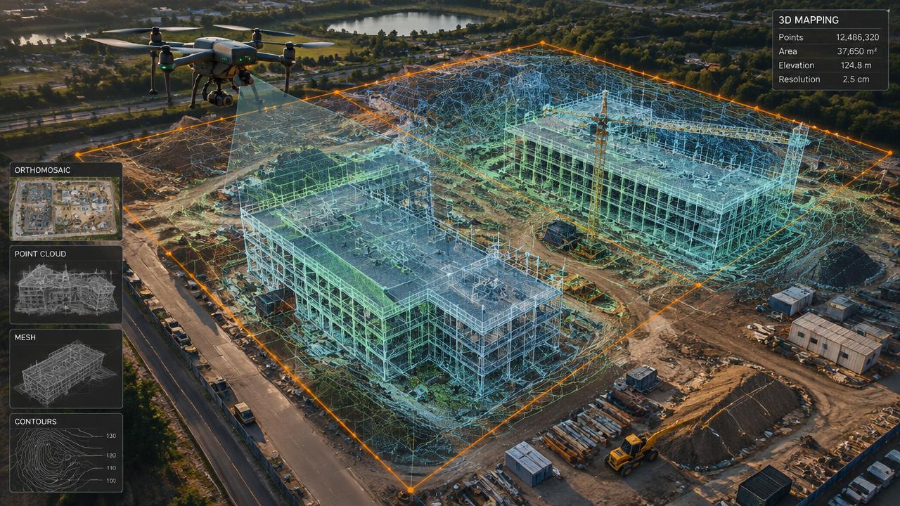
3D Mapping
3D Scanning Services & Digital Twins
Centimetre-accurate 3D models of buildings and sites for owners, engineers and insurers.
[ 01 ]
What is 3d imaging & digital twins?
Drone 3D imaging (photogrammetry) stitches hundreds of overlapping photos into a measurable 3D model, or digital twin, of a building or site. Owners use it to measure, plan repairs, document condition and share the property remotely.
Benefits
- Measure anything remotely
- Shareable 3D link
- BIM and CAD export
- Condition record for insurance
How it works
- [ 01 ]Automated grid and orbit flights
- [ 02 ]Photogrammetry processing
- [ 03 ]Quality check
- [ 04 ]Model delivered online and as files
[ 02 ]
Who uses 3d imaging & digital twins — and what it saves
- Architects & engineers
- Facility managers
- Insurers
- Heritage groups
- Realtors for commercial listings
| Factor | Traditional method | With a drone |
|---|---|---|
| Existing-conditions measuring | Tape, laser and lifts over several days | Flight in hours, model in days |
| Sharing | Drawings and photos | Navigable 3D model link |
[ 02 ]
3D Imaging & Digital Twins near you
Winnipeg
Manitoba
Saskatchewan
Kenora & NW Ontario
[ 03 ]
More 3d mapping services
Construction Progress Monitoring
Weekly or monthly orthomosaics and 3D updates for owners, lenders and contractors.
Orthomosaic Aerial Mapping
High-resolution, map-accurate aerial images of properties, farms and sites.
3D Virtual Tours of Commercial Lots
Interactive 3D models and aerial views of vacant lots and commercial sites for brokers and developers.
Frequently asked questions
+How accurate is a drone 3D model?
With proper flight planning and ground control, models are typically accurate to a few centimetres.
[ Knowledge base ]
Key terms on this page
- Digital Twin
- An accurate, measurable 3D model of a real building or site that can be viewed, measured and updated over time.
- Photogrammetry
- Creating measurements, maps and 3D models from overlapping photographs.

Ready to see your property from above?
Licensed, insured Transport Canada Advanced RPAS pilots. Fast written quotes.