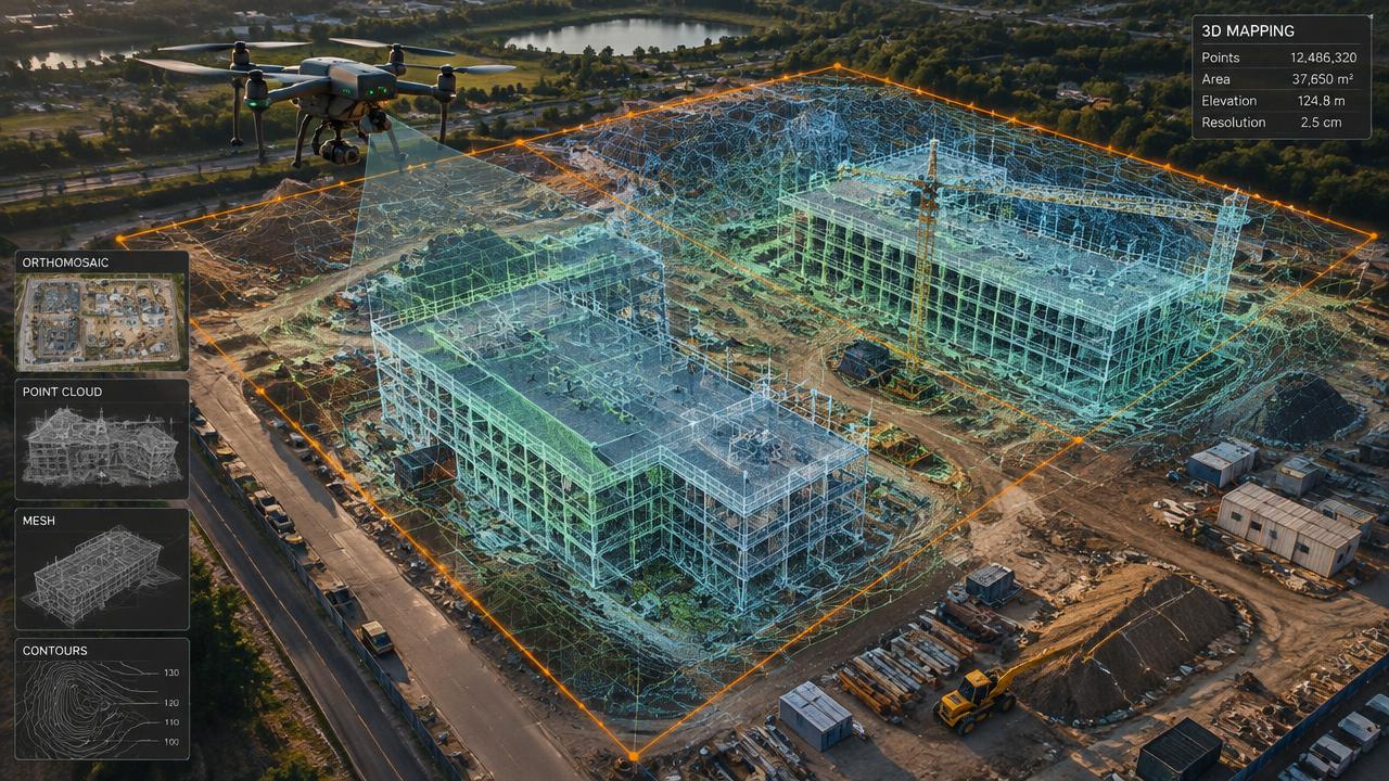
3D Mapping
3D Virtual Tours of Commercial Lots
Interactive 3D models and aerial views of vacant lots and commercial sites for brokers and developers.
[ 01 ]
What is 3d virtual tours of commercial lots?
Commercial lot 3D tours turn drone photos into an interactive 3D model buyers can spin, measure and view from any angle, alongside high-definition aerial photos showing access, neighbours and frontage. Brokers and developers use them to market vacant land and sites to out-of-town buyers.
Benefits
- Interactive 3D model buyers can explore
- Shows access, frontage and surroundings
- Measurable site dimensions
- Works for remote buyers
How it works
- [ 01 ]Site boundaries confirmed
- [ 02 ]Mapping and oblique photo flights
- [ 03 ]3D model processing
- [ 04 ]Shareable model link and photos
[ 02 ]
3D Virtual Tours of Commercial Lots near you
Winnipeg
Manitoba
Saskatchewan
Kenora & NW Ontario
[ 03 ]
More 3d mapping services
3D Imaging & Digital Twins
Centimetre-accurate 3D models of buildings and sites for owners, engineers and insurers.
Construction Progress Monitoring
Weekly or monthly orthomosaics and 3D updates for owners, lenders and contractors.
Orthomosaic Aerial Mapping
High-resolution, map-accurate aerial images of properties, farms and sites.
Frequently asked questions
+Is the 3D model a legal survey?
No. It is a marketing and planning model; legal boundaries need a Manitoba or Saskatchewan land surveyor.

Ready to see your property from above?
Licensed, insured Transport Canada Advanced RPAS pilots. Fast written quotes.