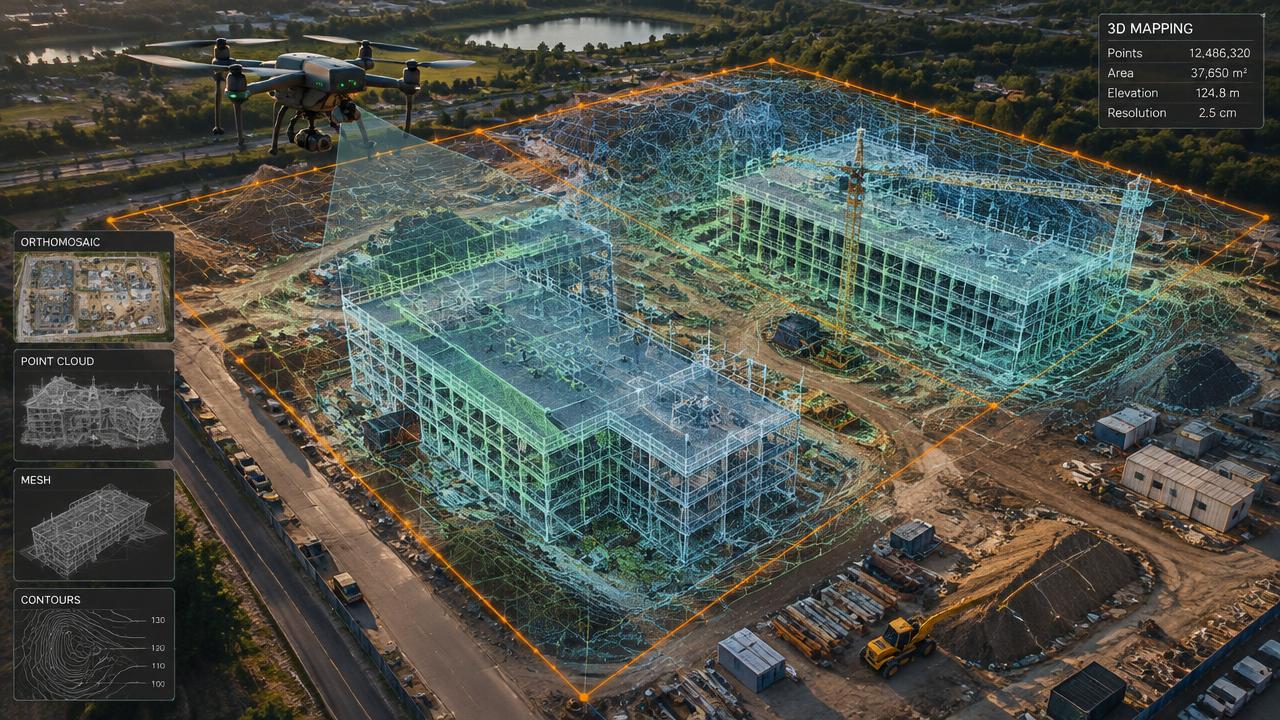
3D Mapping
Drone Mapping & Aerial Orthomosaics
High-resolution, map-accurate aerial images of properties, farms and sites.
[ 01 ]
What is orthomosaic aerial mapping?
An orthomosaic is a single, geometrically corrected aerial image built from many drone photos. Unlike a regular photo, distances and areas can be measured on it, making it ideal for site plans, farms and property records.
Benefits
- Measurable distances and areas
- Higher resolution than satellite
- GIS-ready
- Current, on-demand imagery
How it works
- [ 01 ]Grid flight
- [ 02 ]Processing and georeferencing
- [ 03 ]GeoTIFF and web delivery
[ 02 ]
Orthomosaic Aerial Mapping near you
Winnipeg
Manitoba
Saskatchewan
Kenora & NW Ontario
[ 03 ]
More 3d mapping services
3D Imaging & Digital Twins
Centimetre-accurate 3D models of buildings and sites for owners, engineers and insurers.
Construction Progress Monitoring
Weekly or monthly orthomosaics and 3D updates for owners, lenders and contractors.
3D Virtual Tours of Commercial Lots
Interactive 3D models and aerial views of vacant lots and commercial sites for brokers and developers.
Frequently asked questions
+Is drone mapping better than satellite imagery?
Drone maps are usually far higher resolution and can be captured on your schedule rather than whenever a satellite passes.
[ Knowledge base ]
Key terms on this page
- Georeferencing
- Tying drone imagery to real-world coordinates so maps and models line up with survey data and GIS.
- Orthomosaic
- A single, distortion-corrected aerial map stitched from hundreds of drone photos, measurable like a map.

Ready to see your property from above?
Licensed, insured Transport Canada Advanced RPAS pilots. Fast written quotes.