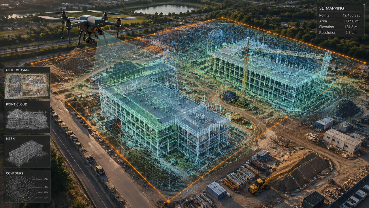
3D Mapping
Construction Drone Progress Monitoring
Weekly or monthly orthomosaics and 3D updates for owners, lenders and contractors.
[ 01 ]
What is construction progress monitoring?
Drone construction monitoring captures repeatable aerial maps of a job site on a set schedule so owners, lenders and trades see progress, verify work and resolve disputes with real data.
Benefits
- Shared, current site view
- Verifies pay applications
- Documents installed work
- Spots safety issues
How it works
- [ 01 ]Set a recurring flight schedule
- [ 02 ]Automated identical flight paths
- [ 03 ]Orthomosaic and model updates
- [ 04 ]Comparison over time
[ 02 ]
Who uses construction progress monitoring — and what it saves
- General contractors
- Developers
- Lenders
- Municipal project managers
| Factor | Traditional method | With a drone |
|---|---|---|
| Progress record | Ground photos and site walks | Measurable aerial map each visit |
| Frequency | Ad hoc | Weekly or bi-weekly schedule |
| Published Canadian rates | Site staff time per report | Canadian providers publish about $375 per visual visit or ~$1,200/month for mapped plans |
Rates shown are published examples from Canadian drone providers, not ClearHorizon quotes — every project is priced individually.
[ 02 ]
Construction Progress Monitoring near you
Winnipeg
Manitoba
Saskatchewan
Kenora & NW Ontario
[ 03 ]
More 3d mapping services
3D Imaging & Digital Twins
Centimetre-accurate 3D models of buildings and sites for owners, engineers and insurers.
Orthomosaic Aerial Mapping
High-resolution, map-accurate aerial images of properties, farms and sites.
3D Virtual Tours of Commercial Lots
Interactive 3D models and aerial views of vacant lots and commercial sites for brokers and developers.
Frequently asked questions
+How often should construction sites be flown?
Weekly or bi-weekly is typical for active sites; monthly works for slower or longer projects.
[ Knowledge base ]
Key terms on this page
- Construction Progress Monitoring
- Repeated drone flights over a job site to document progress, compare against plans and share updates with stakeholders.

Ready to see your property from above?
Licensed, insured Transport Canada Advanced RPAS pilots. Fast written quotes.